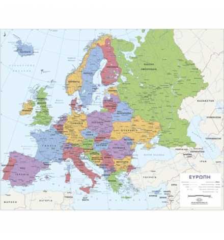
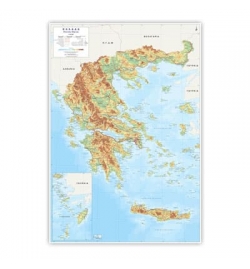
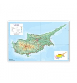
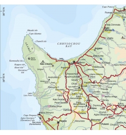
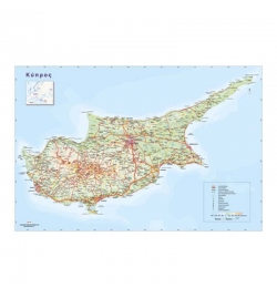
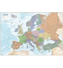
The Map includes all countries, capitals and main cities of Europe, hydrographic features such as rivers and lakes, international boundaries as well as the main road and railway network. Cities are classified by their population.
Ideal for pupils, students, academics, offices, and anybody else who is interested in studying in detail the world geography.
The Map of Europe is approved by the Cyprus Ministry of Education, Sport, and Youth and constitutes a perfect gift for any occasion.
Dimensions: 70x100cm
| Dimensions (cm) | 70x100 |
Related Products
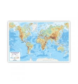
Physical and Political Map of the World 100x140cm (in Greek)
Two-Sided Map: on one side there is a Physical Map of the World and on the other side a Political Map of the World.
€64.95
Out of stock
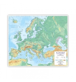
Physical and Political Map of Europe 96x107cm (in Greek)
Two Sided Map: on one side there is a Physical Map of Europe and on the other side a Political Map of Europe.
€64.95
Available on request
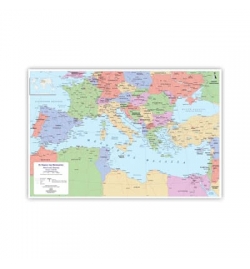
Physical and Political Map of the Mediterranean Countries...
Two-Sided Map: on one side there is a Physical Map of the Mediterranean countries and on the other side the Political Map of the Mediterranean countries.
€64.95
Available on request
Physical & Political Map of Greece 100x130cm (in Greek)
Two-Sided Map: on one side there is a Physical Map of Greece and on the other side a Political Map of Greece.
€64.95
Available on request

